2017 December: Lakeview Lookout from Sundial Carpark, Grampians National Park, Vic, Australia
Prolog
The main walk for today is to:
- climb Sundial Peak
- visit Viewpoint
- climb Mt Rosea
( Photographs and trip report are in my blog: http://mntviews.blogspot.com.au/2017/12/sundial-peak-viewpoint-mt-rosea.html )
But first, a short circuit walk to Lakeview Lookout.
Map
The paper map that I have is "Northern Grampians" by Spatial Vision, 2nd edition, Copyright 2014.
The relevant part of the map is reproduced below:

GPS tracklog file & route
The GPX tracklog file of the walk can be downloaded from:
https://drive.google.com/file/d/1Er12t9XH7Zi1Yo7mFcpzXj1PE9RJKHGd/view?usp=sharing
The same tracklog is displayed in the map below as blue dots, clockwise direction:
- Starting point of the walk is Sundial Carpark.
- Red arrow: Short detour to a nondescript lookout (But the view from Lakeview Lookout is better.)
- South-east of the red arrow is Lakeview Lookout - the main objective of this walk.

In summary, the circuit route is:
- Start at Sundial Carpark at end of Sundial Road.
- Walk in a clockwise direction, follow the blue dots to Lakeview Lookout.
- Then towards Sundial Carpark
( Afterwards, to Sundial Peak and Mt Rosea. Photographs and trip report are in my blog:
http://mntviews.blogspot.com.au/2017/12/sundial-peak-viewpoint-mt-rosea.html )
Timeline & Distance
Park car at Sundial Carpark, at end of Sundial Road, Bellfield.
08:16 0.0 km Start walking to Lakeview Lookout in a clockwise circuit.
08:22 0.5 km At a junction at Devils Gap - One foot track goes to Lakeview Lookout. The other keep on going to Pinnacle.
08:32 0.9 km At a nondescript lookout which is off the main foot track (red arrow of the above map)
08:41 1.3 km At Lakeview Lookout
08:44 1.35km Leave Lakeview Lookout
08:50 1.85km At a junction very close to Sundial Carpark
- One foot track goes to Sundial Peak ... this is where I'll be going next.
- The other returns to Sundial Carpark 50 meters north-ish.
==============================================
Total: 34 mins
1.85km Distance is from Google Earth
2.0 km Distance is from my Garmin GPS
Pictures: Sundial Carpark
1) This is where I park the car, at Sundial Carpark at end of Sundial Road, Bellfield.
- It is a reaonable sized carpark
- Red circle: My car

2) First, I head in the direction of Pinnacle, Wonderland Carpark and Halls Gap. (In about 500 meters, at Devils Gap, I'll turn right to go to Lakeview Lookout.)

To Lakeview Lookout
3) Various conditions of the foot track

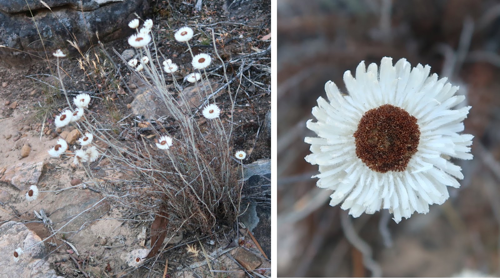
4) Plenty of these small white flower by the side of the track ~~~
If you know its name, please let me know.
5) Plenty of big boulders like this in the Grampians National Park

Detour to a nondescript lookout
6) Taking a detour to a nondescript lookout by scrambling down this steep incline ~~~
I'm looking back up the slope after scrambling down. (The picture doesn't quite show it ... it is steep.)

7) The lookout is a few more steps further down from where the previous pic was taken.
View from the lookout is nice ... but not as nice as the one from Lakeview Lookout ... so, not worth the trouble of detouring to here :-)
- Left red arrow: Boronia Peak ... towards north-east
- Right red arrow: Lake Fyans

8) Cliffs at where the lookout is

At junction to Lakeview Lookout
Detour is over.
9) Now at a 3-way junction ~~~
- Left yellow dots: To Sundial Carpark and Sundial Peak ... this is also the shorter way from Sundial Carpark to here. However, I took the longer route, from the right yellow dots.
- Middle set of dots: To Lakeview Lookout
- Right set of dots: Where I came from

Lakeview Lookout
10) (Photo taken in late afternoon ... I forgot to mention ... I'm back here again to take another look after climbing Sundial Peak and Mt Rosea.)
- Red oval: Lakeview Lookout
- Red circle: 3 young women sitting there.
- Red arrow: Later on, I'll climb up this rock.

11) (Photo taken in late afternoon)
Closer to the lookout: (To enlarge the image, click on it.)
- The 2 pics below are continuation to the left/right of each other.
- Red Oval: The lookout and the women

12) (Photo taken in late afternoon)
- This is it ... Lakeview lookout.
- Red circle: 3 women are sitting there.

Scenery from Lakeview Lookout
13) The 2 pics below form a 180-degree panorama from Lakeview Lookout ... centered towards east (The pics are taken in the morning.) ~~~
- Upper pic: The 3 red arrows point to, from left to right:
1 Lake Londsdale
2 Boronia Peak
3 Lake Fyans
- Lower pic: (Continuation to the right of the upper pic)
• Red arrow: Sundial Peak ... Will go on to climb it after Lakeview Lookout ... Trip report will be written up soon.
• The large body of water here is Bellfield Lake. The white colour at the larger end of the lake is due to reflection of the morning sunlight.

14) (Continuation to the right of the previous pic)
- The 2 red arrows point to, from left to right:
1 Sundial Peak
2 I'll climb to the top of this rock in the late afternoon. It is the same rock pointed to by the red arrow in photo #10.
- Yellow arrows: After Lakeview lookout, I'll go on to climb Sundial Peak. The route will be along these arrows.

15) (Photo taken in late afternoon)
(To enlarge the image, click on it.)
I'm back here again in the late afternoon and take this pic which is similar to photo #13:
- The main body of water here is Bellfield Lake.
- The 4 red arrows point to, from left to right:
1 Lake Londsdale
2 Boronia Peak
3 Lake Fyans
4 Sundial Peak

16) (Photo taken in late afternoon)
Zooming into Bellfield Lake

17) (Photo taken in late afternoon)
Next, I climb up this rock by the side of the lookout ... same as the one under the right red arrow in photo #14.

18) (Photo taken in late afternoon)
From the top of the rock in the previous pic, I snap the 2 photos below, plus photo #19.
- Upper pic: The young women
- Lower pic: The 3 red arrows point to, from left to right:
1 Lake Londsdale
2 Boronia Peak
3 Lake Fyans

19) (Continuation to the right of previous pic)
(Photo taken in late afternoon)
(To enlarge the image, click on it.)
- Left red arrow: Lake Fyans
- Right red arrow: Sundial Peak
- The main body of water at the centre of the pic: Bellfield Lake.

Towards Sundial Carpark
20) After leaving Lakeview Lookout, I notice these interesting cliffs located a few steps past the 3-way junction in photo #9 and heading towards Sundial Carpark.
- The 2 pics below are of the same cliffs.

Post Script
Then I go on to climb Sundial Peak and Mt Rosea. Photographs and trip report are in my blog:
http://mntviews.blogspot.com.au/2017/12/sundial-peak-viewpoint-mt-rosea.html
No comments:
Post a Comment